GeoSpyAI
GeoSpy is an AI platform for turning image data into location intelligence.
What is GeoSpy?
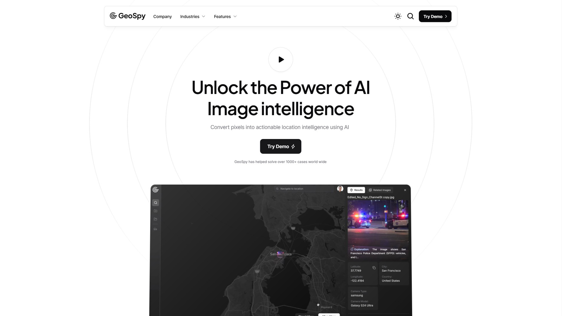
Geospatial AI is an advanced platform that converts pixels from images into actionable location intelligence. The platform is a powerful AI mapping solution, designed specifically for enterprise and law enforcement to deliver meter-level accuracy. The platform helps you learn how to use AI for geospatial analysis by providing a user-friendly interface to quickly determine locations from low-context images.
Key Features:
- Image intelligence
- Location models
- Geo-estimation
- Meter-level accuracy
- Automated analysis
- Crime-solving
- Law enforcement
- Data security
- Enterprise solutions
- Case management
Use Cases of GeoSpy:
- Criminal investigations
- Location verification
- Asset tracking
- Security operations
- Disaster response
- Urban planning
- Military intelligence
- Infrastructure monitoring
- Environmental analysis
- Border security
Get Started
Visit the website to explore its features. This platform offers a powerful and precise approach to location intelligence, providing critical insights for a variety of applications.